Press is rolling unveiling what might seem like a ‘new’ initiative, obscuring and ‘moving on’ from some really UGLY past issues with California State Parks. But, hey- we all want to move on, keep moving forward…especially those with criminal records or histories of abuse.
Parks Forward: a brief history
The origin of the Parks Forward initiative was a crushing blow in 2012, an event that should make every Californian, especially those dedicated to natural areas access and conservation, doubt whether the California Department of Parks and Recreation can be trusted. Some may recall the closing of many State Parks supposedly due to budget shortfalls, which some of us recognized at the time as being a political ploy to pressure the California legislature into increasing Parks’ budget. Sure enough, ‘fiscal irregularities’ (as stated euphemistically in Parks’ subsequent report) were discovered, but only after the panicky scuttling of thousands of volunteers, non-profit organizations, and private donations to keep parks from closing down. Many nonprofits made good money from this fundraising boon, which also cemented their cache with the public.
The Bigger History
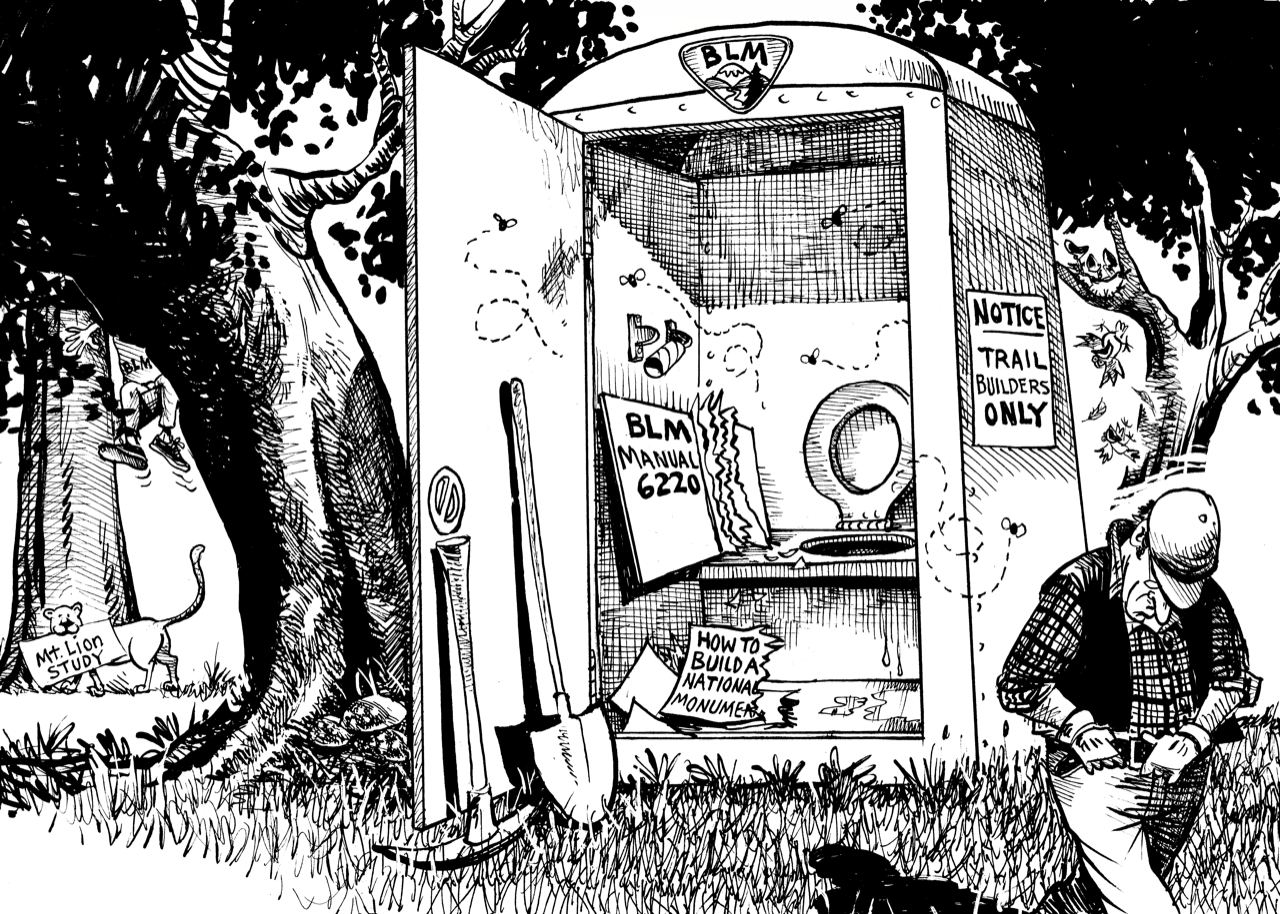
The State Parks corruption boondoggle in 2012 needs to be put into context with a larger history for a wholistic understanding of the situation. Since its inception, State Parks has been the recipient of lands purchased by private organizations. It has been typical that ‘conservation’ organizations use private donor funds to purchase properties while lobbying for public bond initiatives earmarked in such a way that they profit by subsequently selling those properties to the State. This process violates all sorts of legal and moral codes such as illicit 501(c)3 lobbying, private organizations setting State priorities, adding land to an agency already unable to manage the lands it holds, etc. Conservationists recognize that purchasing and ‘setting aside’ land for ‘protection’ is the relatively easy and affordable first step- the real work is sustaining species on those lands in perpetuity. For a while, recognition of these ‘irregularities’ put a halt to adding more land to the State Parks system.
Santa Cruz County Parks History
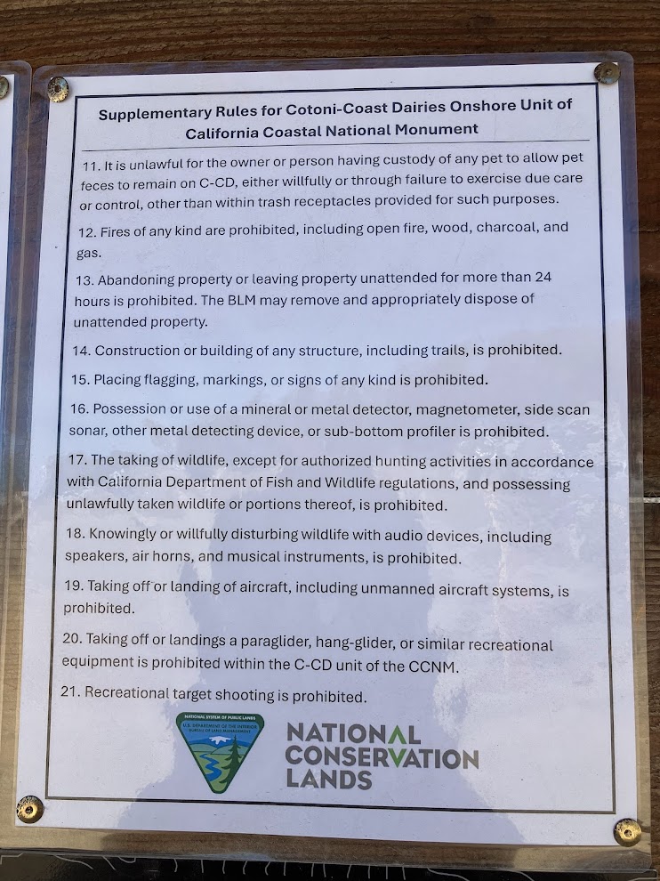
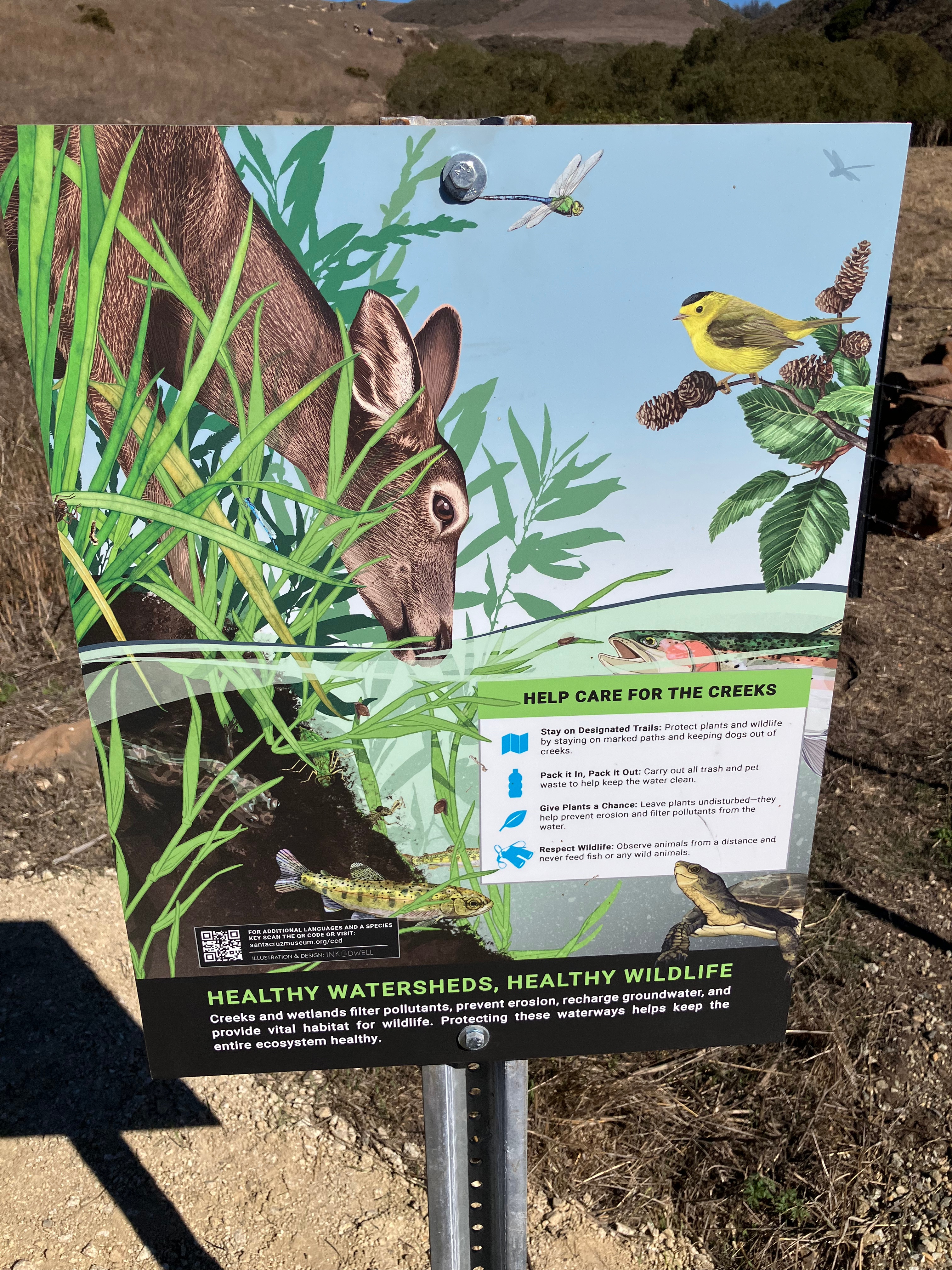
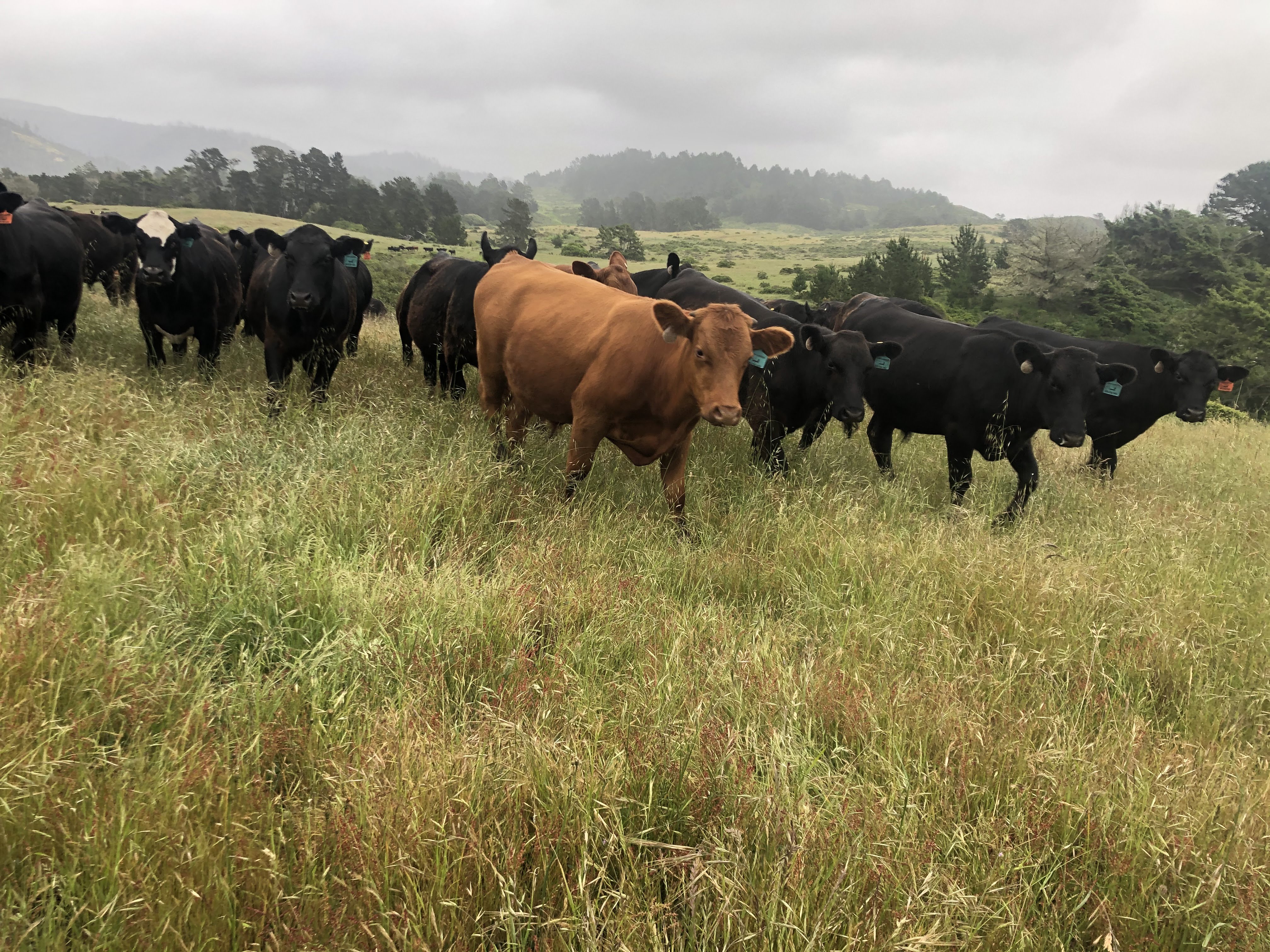
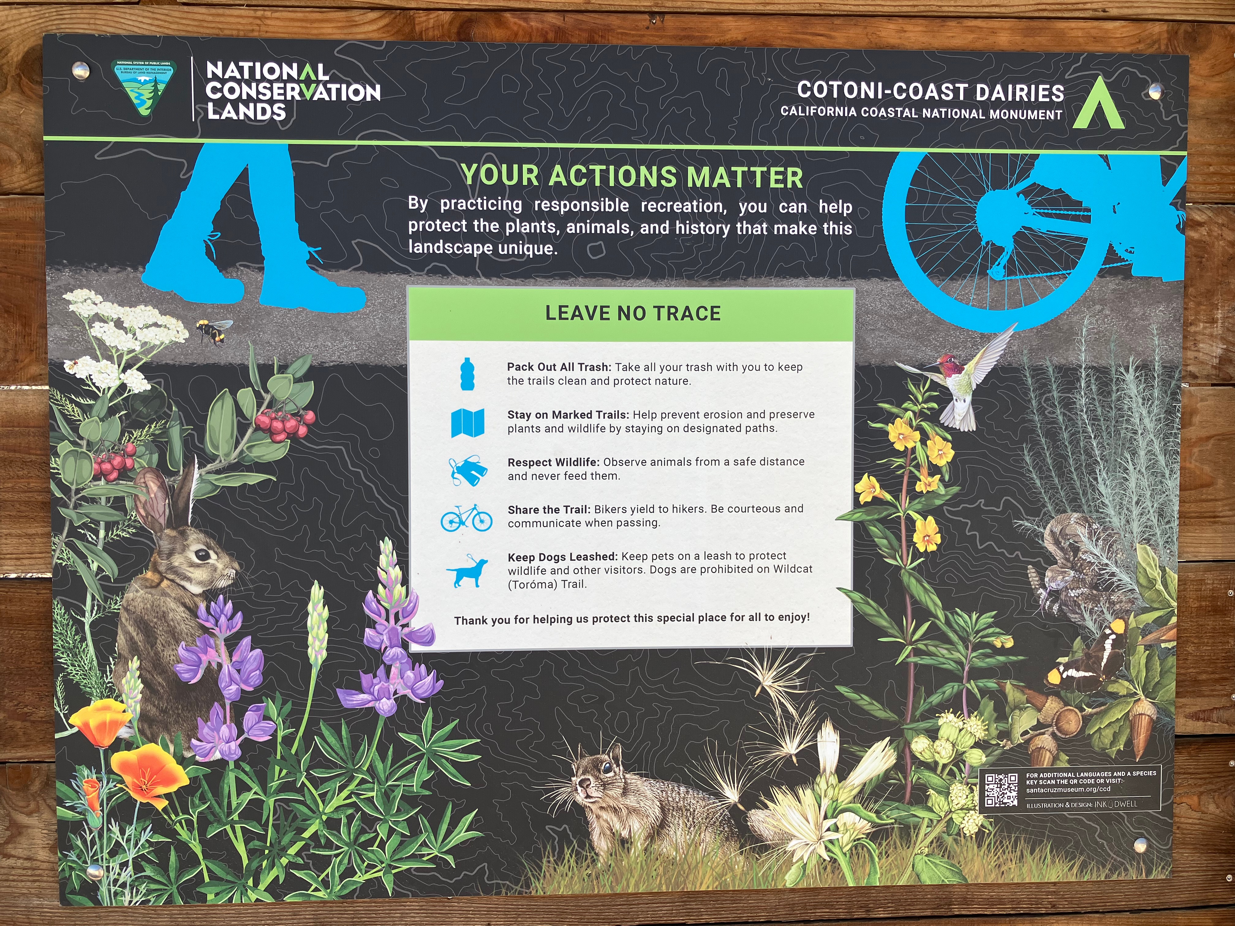
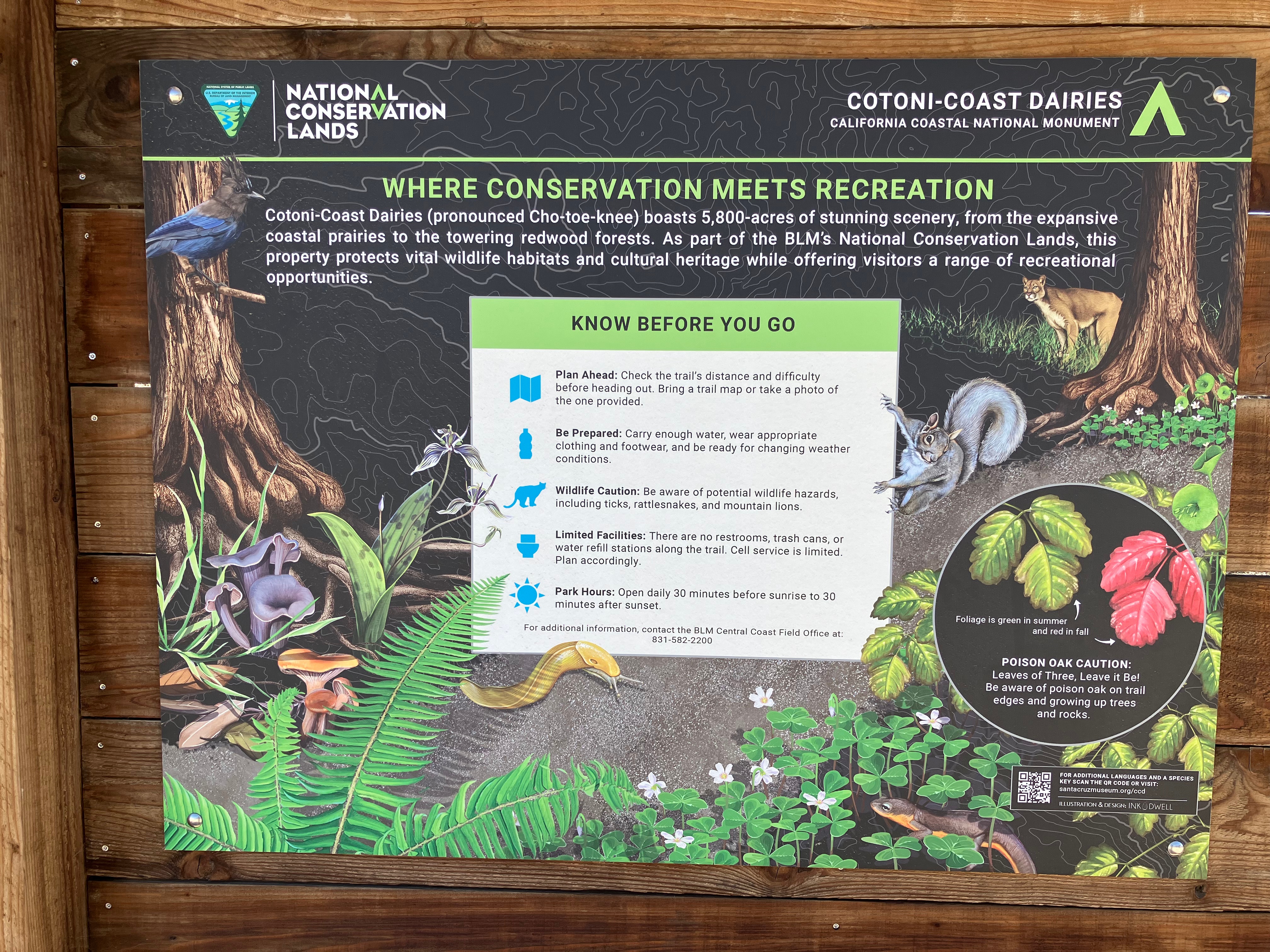
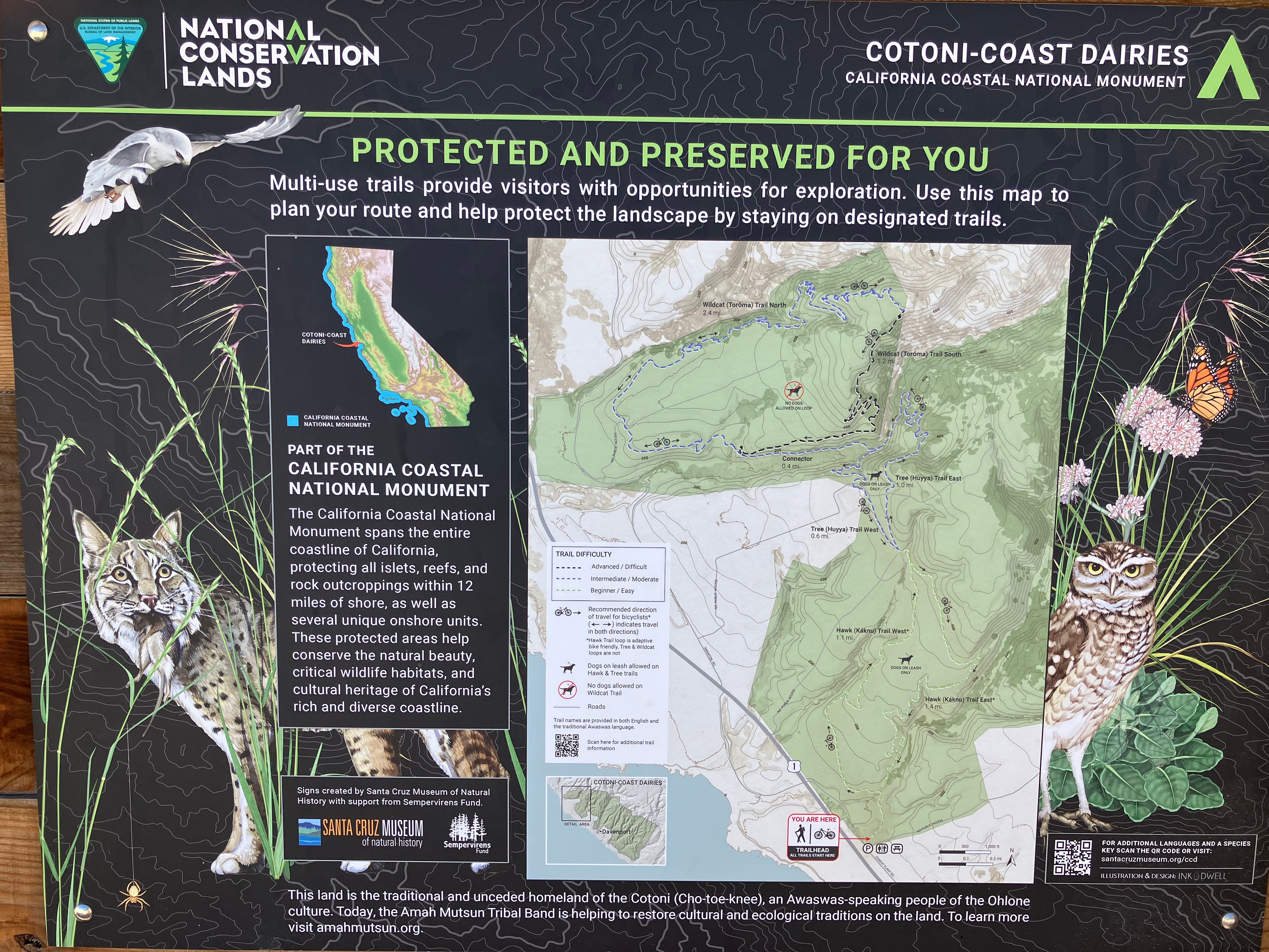
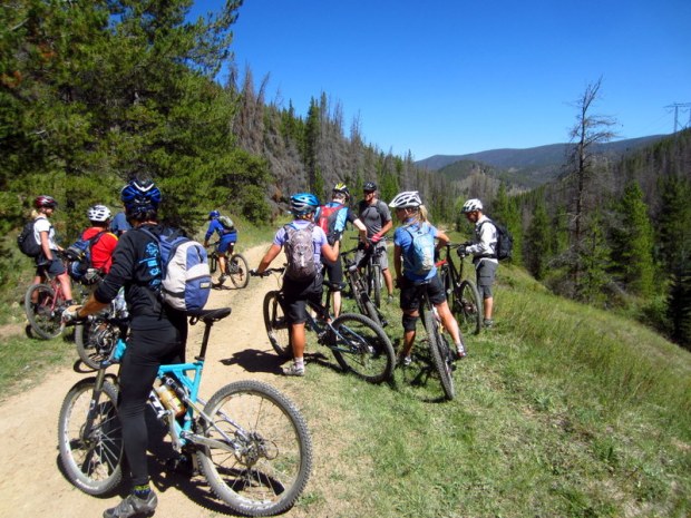
Much of that ‘bigger’ history is reflected in what has been occurring in Santa Cruz County where a disproportionate percentage of land is owned by State Parks. State Parks General Planning processes were successfully challenged for Castle Rock State Park, Nisene Marks State Park, and the Gray Whale Ranch addition to Wilder Ranch State Park. In each instance, private organizations were instrumental in transferring land to State Parks while State Parks was unable to either plan for or manage those properties in alignment with California law. And yet, each park welcomes visitors, pouring funding into private businesses at the expense of biodiversity protection and visitor experience. Henry Cowell State Park and the State Park beaches at Cotoni Coast Dairies were opened and remain highly used without any planning, whatsoever. The General Plan for Wilder Ranch State Park, a mecca for mountain bikers, does not allow mountain biking and private recreational businesses openly operate mountain biking concessions. Yet, Parks rangers have been ordered not to enforce prohibitions against either mountain bikers or their unpermitted concessions.
The ‘New’ Parks Forward Initiative
Surrounding Earth Day 2026, there has been much press about the Parks Forward initiative. One might even think it was ‘new.’ More new parks were added to the network of State Parks and some parcels were added to expand certain existing State Parks. In some cases, the press releases note property was ‘donated’ and in other cases, the situation is far opaquer. Nowhere in the press releases is there any mention of species conservation- it is all coached in ‘more access.’ Both access and conservation are expensive to do correctly, are not being done correctly in any State Park currently, and are conflicting uses with vast tradeoffs that go unanalyzed by Parks’ mandated General Plans and concomitant ‘carrying capacity analysis.’
Symptoms Make Sense
This new roll out of “Parks Forward” is quite predictable given public amnesia, popular myths, and the level of oversight from the Parks Forward Commission. Apparently, the public has forgotten about the origins of the Parks Forward initiative: if citizens remembered, there would be some acknowledgement in the many press releases. Overriding the grave concerns of the past is a fervor for more public access to natural areas. The myth, echoed by everyone touching this new version of the Parks Forward initiative, is that ‘more people accessing more natural areas is good for conservation.’ This balderdash flies in the face of science and common sense. The logical conclusion of this thinking is that if every human accessed every last piece of nature then every species would be conserved…the opposite is true. But, conservation organizations want to make money from donors and State politicians want to look successful, so enter the echo chamber of the deeply mistaken myth, which is doing permanent damage to the potential for wildlife conservation in California.
It is amazing to me that there is a Parks Forward Commission with smart people allowing such misguided endeavors to continue within State Parks. Perhaps they, too, accept the mythology. The symptoms of their complicity were present many years back when the Commission swallowed the poison of the progress report in year 2 of their formation. That report includes ‘four strategic focus areas’ with no metrics for success and two incredibly tiny ‘natural and cultural pilot efforts underway,’ which likewise have no metrics for conservation success. The apparent acceptability of these puerile efforts to the Commission point to an inability of the Commission to provide substantive oversight and input into the broken State Parks system.
Ask, Please
With the unveiling of new parks and new land ‘protections,’ we must ask: is there any additional funding for long term stewardship for biodiversity conservation, or are these new areas merely to continue the silent death of species to the overwhelmingly poorly managed public access/private inurement money machine?
Has California State Parks apologized to the People for the lies and manipulation it promulgated in 2012? Does that apology include details of what they will do to change this sordid past? Can we identify specific individuals who were responsible for those actions? Is there new management? Or, is this situation much like that exposed by the Epstein situation, where the abusers are still in charge? Abusers – is that too much to say? Well, in this case the victims do not have voices and will never speak out…the wildlife will simply go away while the abusers will vocally claim victory with their empty promises of conservation alongside public recreation and access to natural areas.