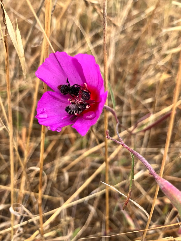
Dry farming in a wet spring followed by June Gloom brings weeds and big growth. Dressed like a hoer? Gloves, a sun hat, long sleeves and long pants – all necessary parts of the kit. Hoers are a most common sight nowadays in these expansive rich soiled crop fields. One might even sing “On the 4th day of Solstice, my true love brought to me four hoers hoing…etc”: every farmer’s dream! Late season rains make for extra germination of seeds that might have (in a ‘normal’ year) been left ‘high and dry’ in the dry farmed tomato and squash patches. The unusually late precipitation makes for crops growing big and fast, as do the weeds, which must have their roots separated from the soil lest they compete and use up the moisture. The most common weed in Molino Creek Farm patches: daikon radish, left over from cover crop let go to seed. Two Dog Farm has its own suite of pestiferous plants, a weedy amaranth being chief among them. Despite Santa’s continual bowl full of jelly Ho Ho’ing, these weeds are no joke.
We dub this drizzly, cold, and sometimes breezy month: Junuary!
Drippy Roadsides, Scooting Quail, Turkeys (redux)
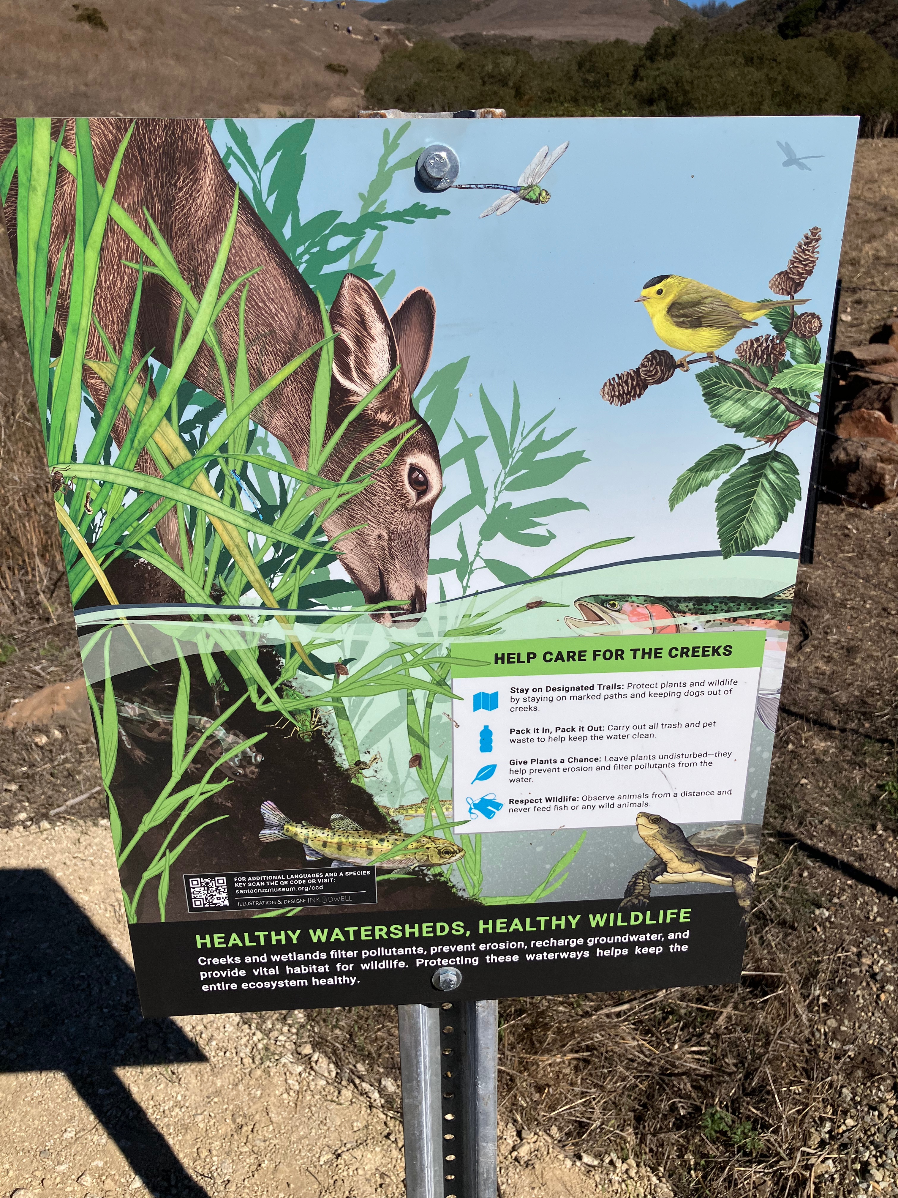
When dew and mist hang heavy from every grassblade and shrub leaf, there is no place for quail to go. They must stay on the road to avoid hypothermia. So, we drive or walk slowly watching the ground birds weave and scuttle trying to find a dry path off the gravel road. The first baby quail emerged in the past week or so; the oldest hatchlings are able to fly already. Nervous quail parents try to herd their frenetic fluffball chicks one way or the other but they sometimes scatter anyhow. It takes quail parents a long while to gather their covey once it flushes. High delicate peep peeps whine from under bushes, hoping for the deep cluck cluck of parents calling them back to their nomadic homes. The adult quail would love it if the babies could take to the air especially for the night roost up in thick trees farther from marauding predators.
We look for turkey patterns, anything to make sense of what these large birds are up to. One group of turkeys has 2 adolescents, ¼ the size of the rest of the flock, which has 4 females tending to the emergent young: thanks, aunts!

Fuel, Fire
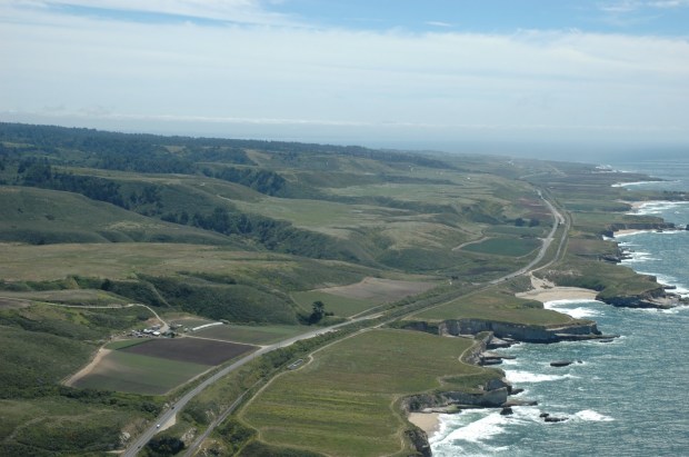
What does one do to prepare for a Super El Niño? The 2020 CZU fire was spurred by remnants of a hurricane which started fires across much of the State. Hurricane predictors have warned to expect many more hurricanes this coming season in the Pacific…so, chances of a piece of hurricane hitting California in the middle of our dry, dry summer are increased. I recently surveyed Molino Creek Farm’s and nearby Bonny Doon’s fireshed: it is ripe to burn. There are miles of dead and damaged trees dropping bone dry limbs onto the awaiting dead shrub understory. The Ceanothus that came up after the fire is 12’ tall but only one in 30 of the shrubs survive, leaving stacked dead shrubs with lots of air between them: a legion of kindling to light the shed limbs and dead trees. Terrifying. It could happen this summer. That next wildfire will not be like anything anyone alive has experienced in the Santa Cruz Mountains. When it lights up and the fire runs from north to south and if there’s any wind behind it, the fire storm will have enough momentum to head into the San Lorenzo Valley and possibly into UCSC and Santa Cruz. Beware Felton!
The late gloom and drizzle helps…but, the heat waves aren’t normally until August with the two last fires leaping in the middle of that month.
Are we acting like we’ve got 6 weeks left before things are crispy and ready to ignite?
Scents
Freshly mowed grass and apples tickle our noses. The mowing has to happen, despite the grass still being green. It is green grass that gives off the freshly mown lawn smell: spicy/sweet and somewhat moldy. That delightful scent is everywhere as we drive tractors up and down every farm roadside.
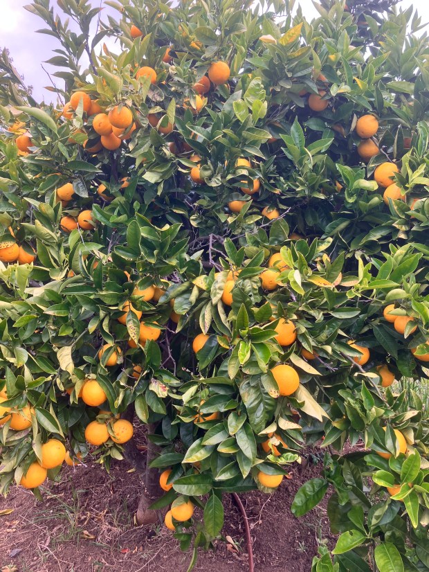
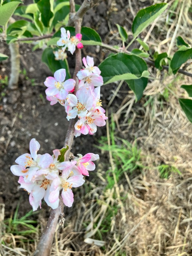
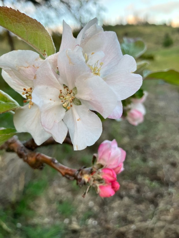
In the orchard, the surprising first scent of apples…at the bottom of the orchard, in the new Gravenstein apple grove. That type of apple has a distinct sour-floral smell and those trees bear early, which is why we planted a grove. It is the first year we’ll get many from those trees, and I’m looking forward to that harvest. Their flesh turns punky quickly, so timely harvest is key. Their waxy-semi-oily skin seems to be where the distinct almost skunky scent arises. What apple diversity we have!
In the forested springs and on creeksides through the mountains…the last of the wild azaleas are blossoming. A little more complex than jasmine but just as sweet, a bit dusty with a hint of orange-citrus. The scent caries a long way. The flowers are beautiful. If you haven’t caught them this year, you’ll have to wait for next: they might already be gone.
The next warmish night…should we ever have one…will make us smell tanoak pollen. Ugh.
Sounds
Marty’s recent stay in the Barn reminds us of the noise of chorus frogs from the cement pond. Those noisy amphibians call through the night and us locals apparently have put that sound out of mind. Ear plugs are necessary for guests to allow them to sleep past the nature noises.
As the fog lifts, when it lifts, there are zephyrs and slight gusts. Muted long drippy mornings are interrupted by a sudden rustling of leaves. A dust devil appears with a whoosh next to you on the road.
The quiet nights carry wave roar, echoing loud sets interspersed with patterns of fewer, smaller waves.
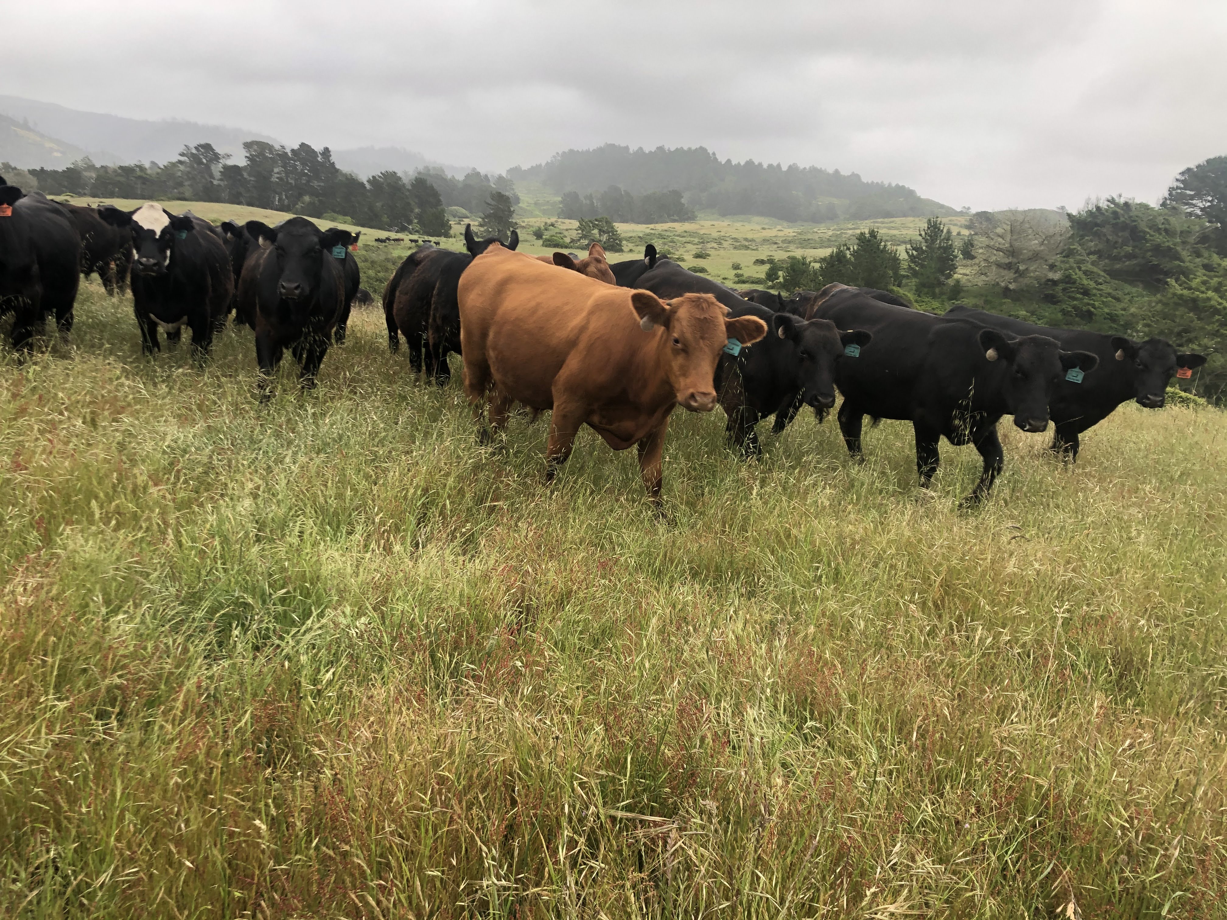
The lowing of cows on the prairies far below the farm.
Hoots of great horned owls.