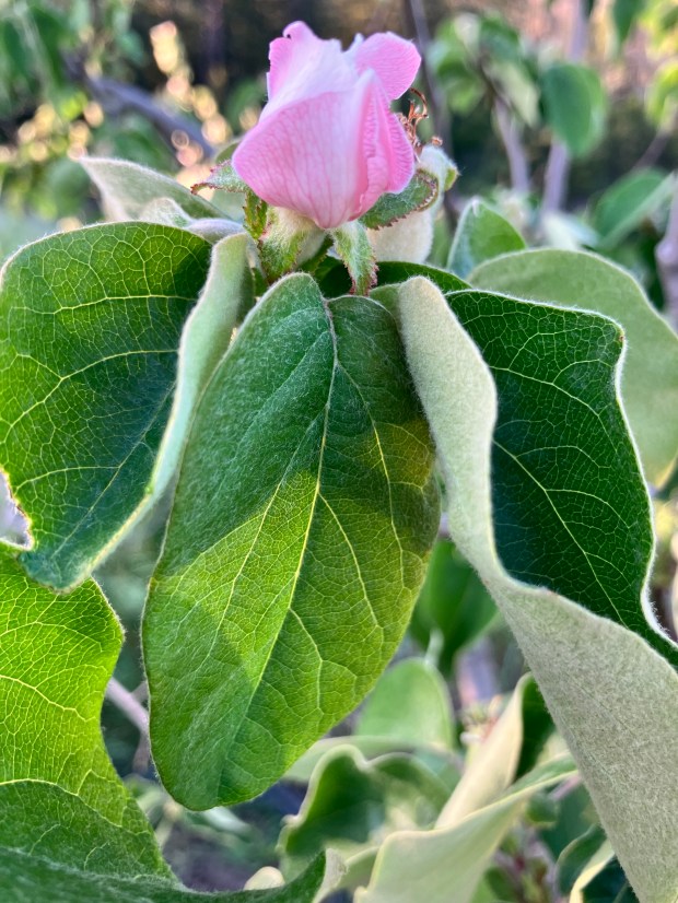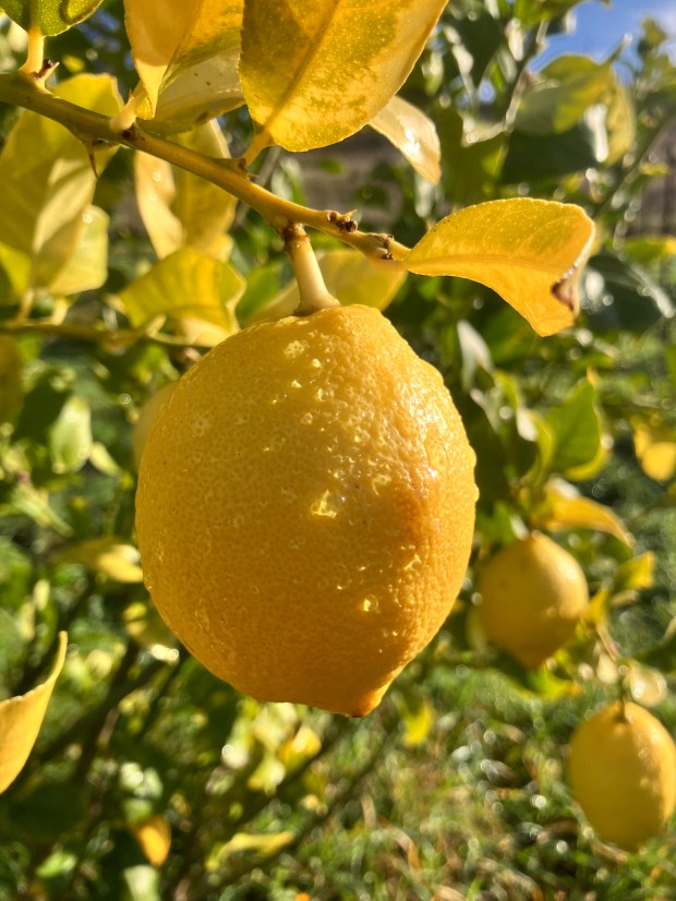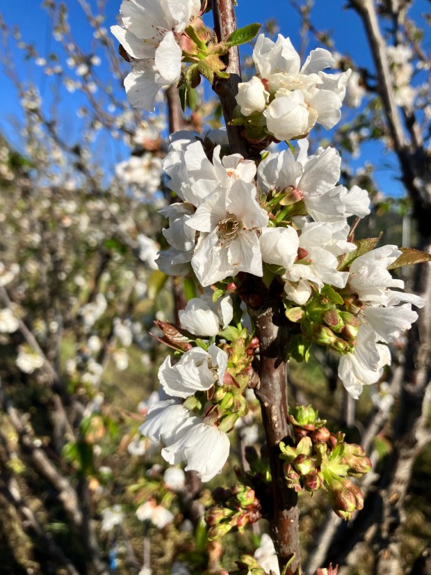
It is stupendous and so very fleeting – a grove of cherry trees in bloom. Buds swell quickly, then bare branches soon festooned with pure white petals unfurling. Almost immediately the flowers fade, carried on the breeze, carpeting the ground. Just as rapidly, leaves emerge, grow, and fill the canopies of the trees: fresh, thickly green and lush. New shoots are next, poking into unoccupied voids to capture sun and feed the juicy dark red fruit.

Watering
Cherry Hill, like all of the orchard areas, needs water, NOW…a month early. The microsprinklers and irrigation tubing need uncovering, tested for leaks, pressurized and flushed….2 sprinkers for each of 400 trees, a mile of tubing, hundreds of feet of hard plastic pipe and so many risers and valves. Over the winter mice and gophers have chewed holes, errant mowers or hoes have compromised irrigation: all needs fixing and fast for the thirst of the trees. Marty and Mike chipped in and covered the largest patch of orchard, and I follow to the next places – only 4 more hours to go until irrigation is wetting the soil in all orchard areas! The sun is shining…the pumps are pumping…all is wonderfully waterish well.
Winter Crops
Mostly, the fields are making ‘green manure.’ Cover crops are nearly all in full bloom, making for beautiful color. Head-high yellow mustard is the eye candy from Molino Creek Farm – with an understory of daikon radish: mow that stuff and the roughly chopped remains smells very rich (!) (rank?) as it rots. It is better left tall and flower-filled and habitat for redwing blackbirds a’plenty. In the orchard, the wet, thick stalks of bell beans are festooned densely with flowers, leaves wilting as the soil dries. Oats and vetch are lagging portions of the cover crop: flowers still to come, they are the understory or sometimes the overstory when in stunted, poor-soiled parts of fields.

Coyote, Turkey, and Quail – Oh My!
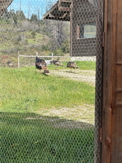
Coyotes have gone quiet – a sure sign that lions are near! Wild dog turds are commonplace along trails – that’s how we know they are here. But, they are tip-toeing, nose to the wind, sniffing the big kitties, trying to keep one step ahead. Turkeys – way less bashful. Two toms have been frequently flashing their huge tails, puffed up, dragging their dirt-drawing wings, drumming. Their fleshy head parts are very impressively flashing purples, blue, and crimson. Hens are unimpressed. All are pecking at grass stalks, picking off the first seeds. They take to air easily, flying into the woods, across fencelines. I counted 140 quail in one covey, crowded along a freshly mown road. The big group or smaller all seem particularly skittish right now- what’s up? This ground created lots of quail last year – we’ll see how this year’s eggs hatch. They aren’t paired up yet, so chicks are a long ways off. I saw a finch feeding a baby today, though- early? odd!
Human Stuff
The diggers found the pipe break. Mowers are mowing. Grape growers are fencing. The soil is getting ‘worked up.’ We are trying to discern why one would run a trencher so crookedly, but they did. Every 10 or so feet: an elongate hole was excavated until the pipe was encountered. Then off in the approximate direction for the next hole. From the water pressure, we knew the pipe broke at around 6’ elevation above the well head, and Sylvie’s measurement put that up near the fence/road…but had to trace the pipe to that point and then, YES, that’s where the pipe burst. We’re in business again- the well is pumping to the tanks once again and all is happiness and satisfaction.
With the long days, drizzle, and mucho sun, things need mowing. Mowers are stretched. Already two of the six mowers are down. Thanks to the generous gifts last year, the Community Orchard has its very own mower and it is working quite well: there are 20 hours of mowing to do in the orchard in the next few weeks! Chipping away by the day.
The solution to elusive in-fence deer: build an interior fence! Two Dog is putting a fence within a fence – fencing their vineyard. Beautifully aligned, white-tipped T posts stand in long lines awaiting the fencing.
Speaking of Two Dog Farm – the master tractor operator Mark Bartle is busy making the soil luscious. The rough discing has been followed by more soil work so the fields are looking dark brown and fluffy. The color and the fresh tilled soil smell is something to behold!

Wildflowers
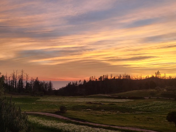
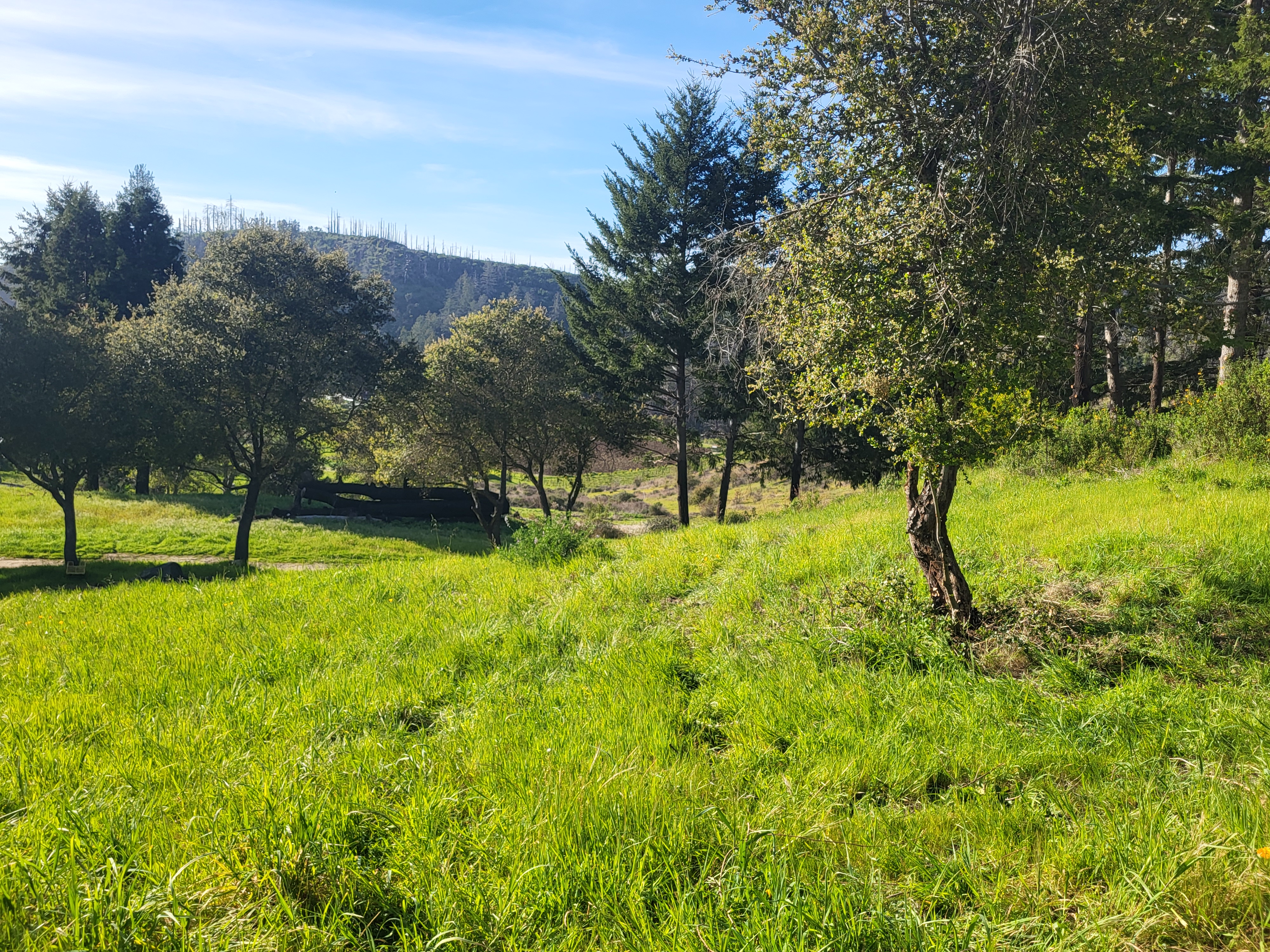
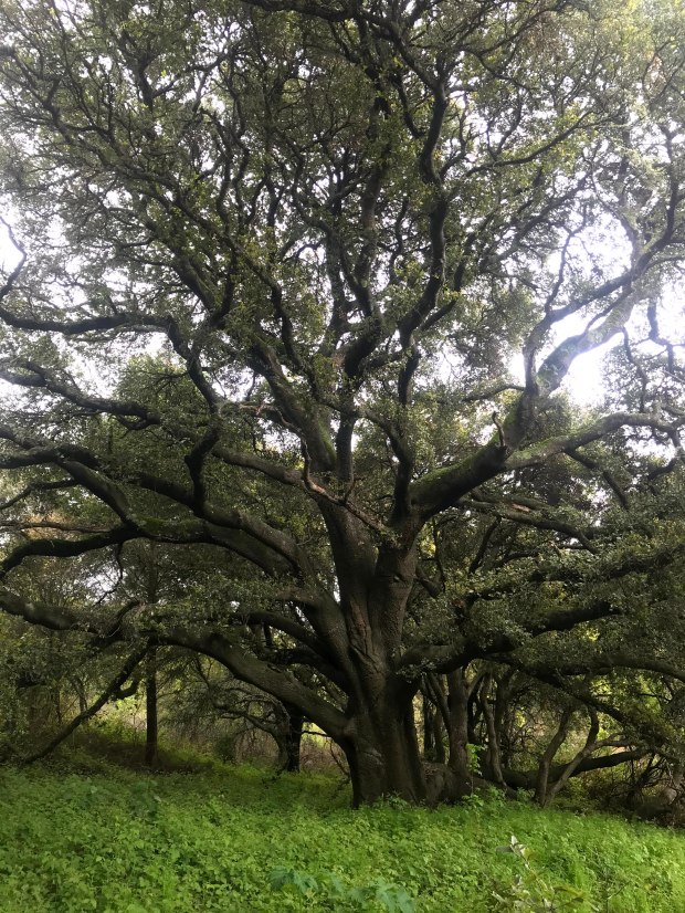
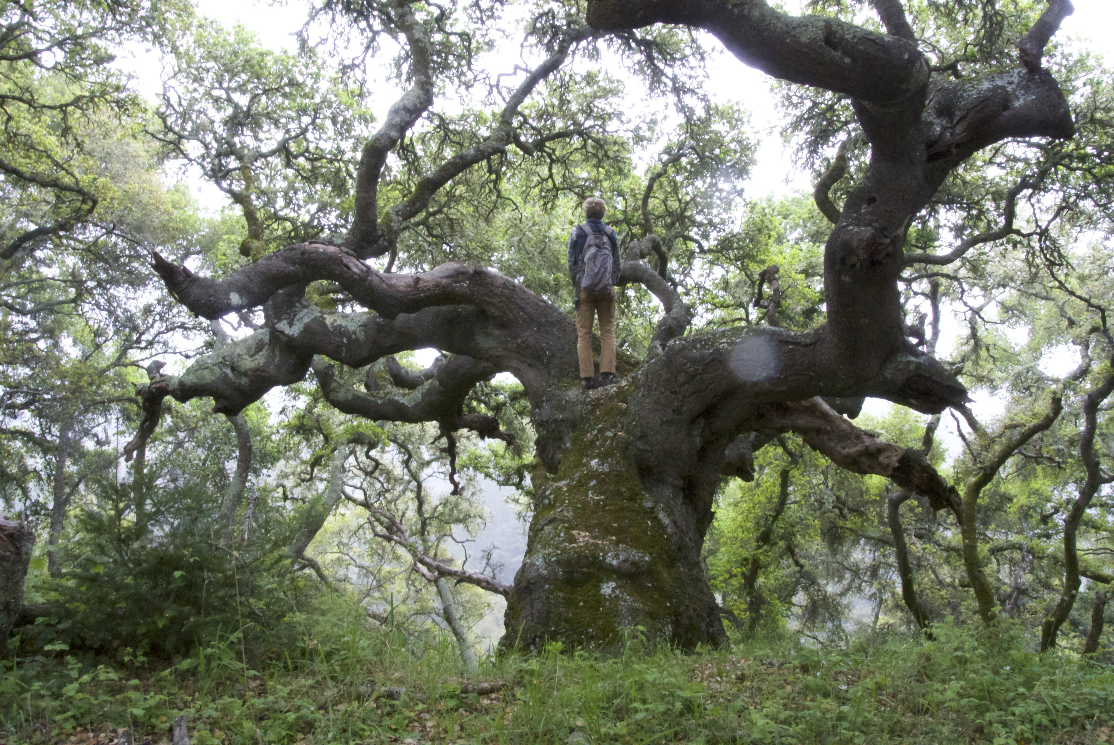
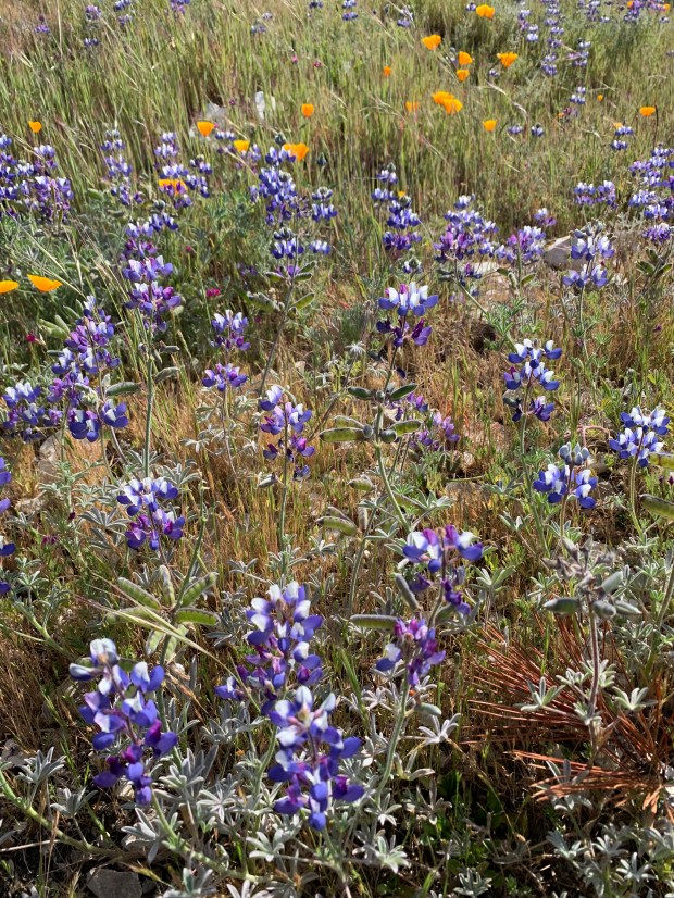
Away from the tilled or cover-cropped fields, the native wildflowers are bursting forth. The poppies are in full swing- huge orange patches brighten the slopes, especially in the area that the Central Coast Prescribed Burn Association burned in Fall 2024. Looking more closely at those poppy patches, you see blue: sky lupines are also in full bloom: the mix of orange and blue is the mix we get for the best displays. In the woods, the checkerlilies are bobbing their speckled blossoms and the dense 12’ tall ceanothus is making the Whole World smell of native lilac. It is peak spring come a month early.