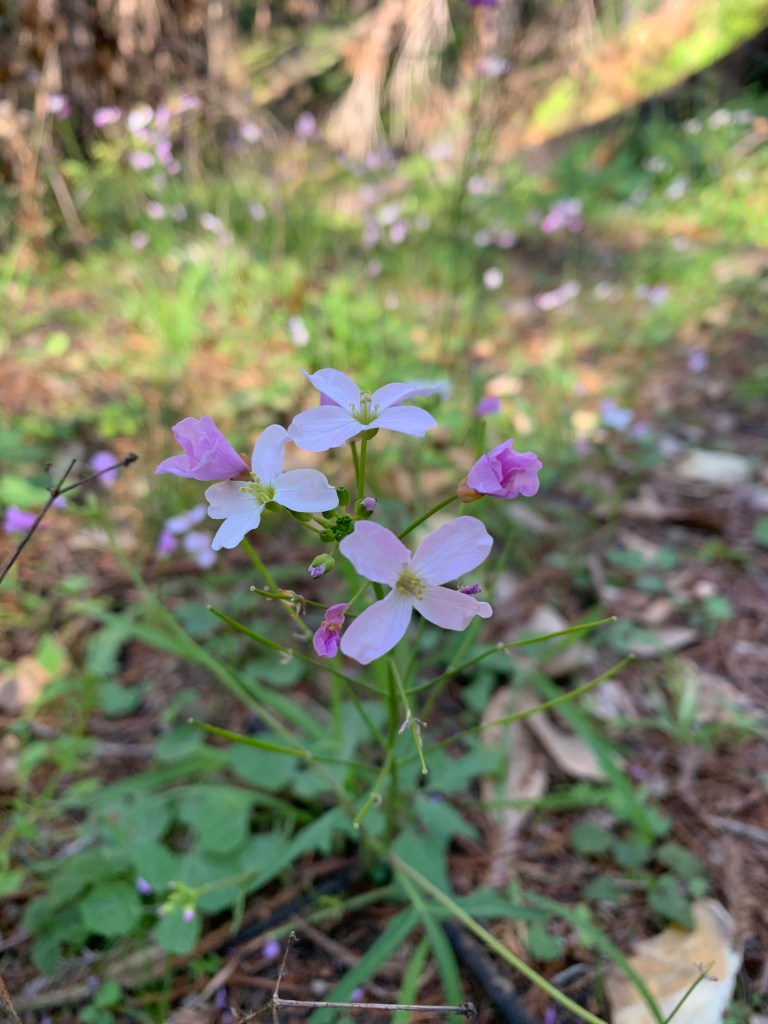
Such a negative connotation, the term “Dead Wood.” The phrase makes you think about useless things that get in the way, and, in the terrible capitalist production context, unproductive people. Now, turn your mind away from this type of meaning and think instead of the dead wood of forests or the logs floating along in streams or lakes, log rafts in the ocean, or driftwood piled up on the beach. Dead wood in those contexts is what this essay is about. Why might dead wood be ecologically important or how can it be dangerous, and what should we do about it?
Presenting Food for Woodpeckers and Bears
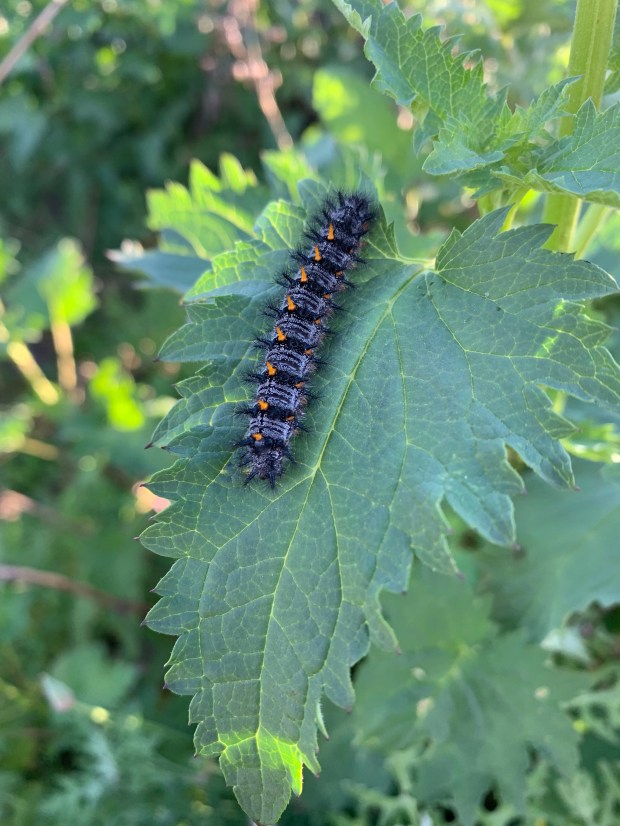
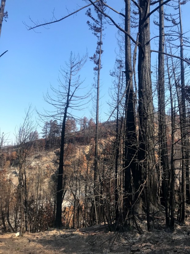
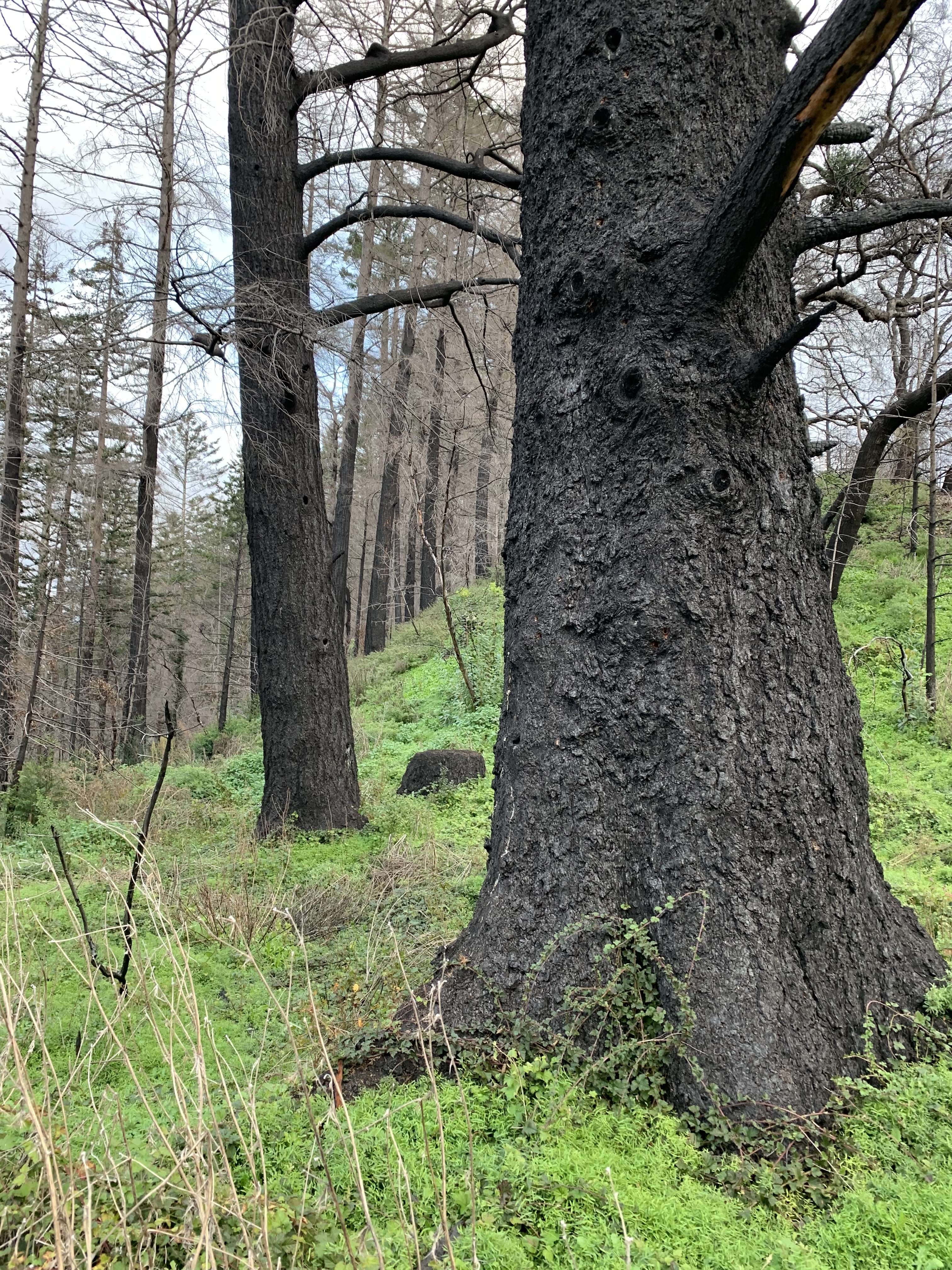
For some, dead wood is promising. Up on the North Coast, I’ve been hearing the cackling calls of “Woody” (aka pileated) Woodpecker, here on the southern end of its range along the coast. Pileated woodpeckers have been well fed since the Lockheed Fire and are about to have great feasts and lots of homes as a result of the CZU Lightning Complex Fire. And, it’s not just the pileated woodpeckers- round here there are also hairy, downy, Nuttall’s and acorn woodpeckers that will also benefit from lots of standing Dead Wood. Flickers will also enjoy lots of pecking space in the dead trees where millions of insects are burrowing through trunk and branch or gathering just under exfoliating bark.
How much wood would a woodpeckers peck if the wood were specked upon the ground? Not much. But, if we had bears, they would tear that wood apart pronto. There are big, greasy, tasty grubs deep inside decomposing trees, whether they are standing or fallen over, and bears have the nose to sniff them and the paws to get at them. In bear country, you’ll often see shredded dead trees where bears have been foraging.
Home is Where the Hole Is – Life in the Big Brown Pole
Dead Wood is home to many critters other than the bugs that feast on it. The insects, fungi, and bacteria make the dead wood soft enough to excavate into nest cavities for birds. The list of local nesting birds that need Dead Wood cavities to nest is long (at least 22 species as follows): Western bluebirds, owls- barn, Western screech, Northern saw-whet, Northern pygmy, and spotted… Northern flickers, woodpeckers- hairy, downy, Nuttall’s and acorn…American kestrels, swallows- both violet green and tree…purple martins, ash-throated flycatchers, chestnut backed chickadees, nuthatches: both white-breasted and pygmy…and finally wrens: winter, house, and Bewick’s. Competing with those native birds for nest cavities are the increasingly burgeoning populations of house sparrows and European starlings. Each of these species has their own particular type of hole, varying in size, habitat, orientation, depth, etc. While the birds are nesting, other critters like cockroaches proliferate amongst the dank nesting material in the hole. After the birds have nested, mice or bats move in.
Home is Where the Hole Is – Life in the Rotting Log
Once the log is on the ground, animals scurry to claim it as territory. My favorite find in a rotting log is a rubber boa, a plain brown snake with an unusually wrinkly skin and blunt head. They really like snuzzling into the crumbliest of rotting wood. Another score when exploring rotting wood is the California salamander, an orange and brown bug-eyed friend that squinches into the spaces between bark and wood on fallen timber. Under the logs, there are still more species of snakes, salamanders, and much more. Back inside especially rotten logs, you can find mouse nests- piles of shredded bark, leaves, or grass tucked away to make an excavated tunnel cozy.
Wood Made Fish Holes
“Logjam” is another term with an unnecessarily unpleasant connotation, somewhat related to “Dead Wood.” Logjams in streams and rivers back up sediment and create waterfalls that carve downwards, creating cooler, deeper pools that fish love. More than that, these chunks of Dead Wood block up streamflow and force flow-carried sediment out of the stream to storage areas in the floodplain. Dead wood moves streams about to scour oxbow pools that are important for frogs, turtles, and salamanders.
Logs a’Hoy!
If that Dead Wood isn’t permanently trapped along the stream or river, it ends up in the downstream lake, estuary, or ocean. Picture the line up of Western pond turtles on a log jutting out into a freshwater lake: that’s their favorite place, basking in the sun ready to drop into the water if they feel unsafe. Logs scattered around an otherwise mud-banked estuary might serve as the solid substrate necessary for oysters and other estuarine organisms. Rafts of logs in the ocean or on rivers are boat hazards before they wash up on beaches. Once on the beach, Dead Wood gets its first nice nickname: ‘driftwood.’ Driftwood on the beach diversifies dunes, creates rare shade and shelter, and captures rafts of seaweed for huge compost piles, fueling insect abundance for foraging shorebirds. I like sitting on driftwood to keep my bottom from getting sandy or wet. Unfortunately, people like to burn up all the driftwood as if it had been just waiting for their bonfires, which create a pall of stinky saltwater smoke downwind.
Burning Log a’Fire
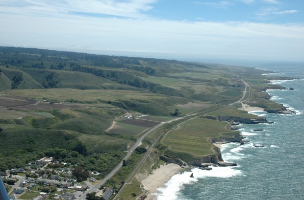
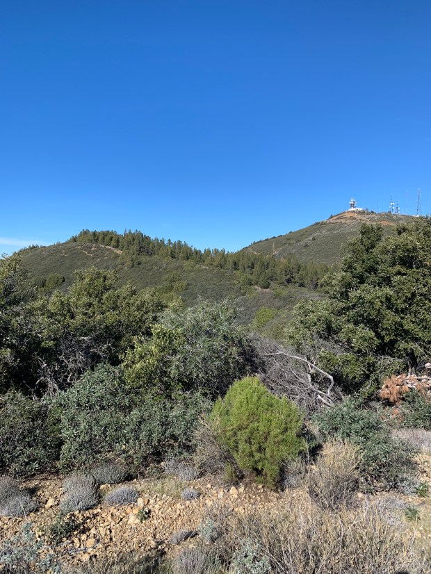
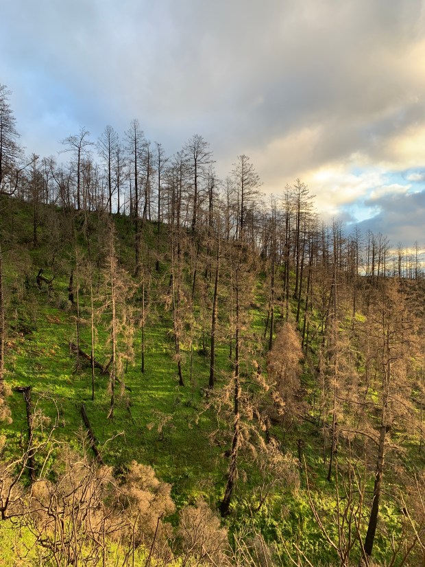
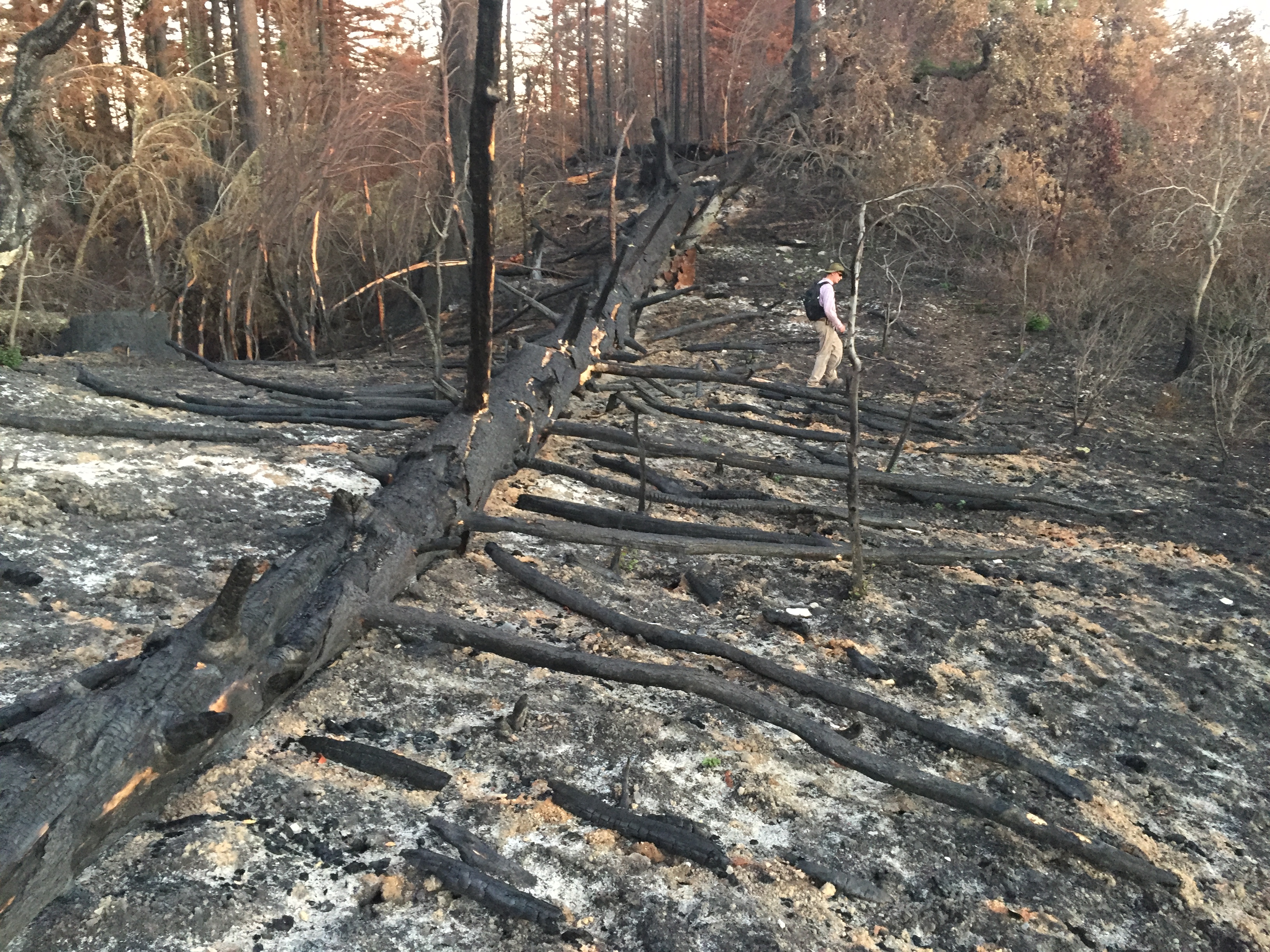
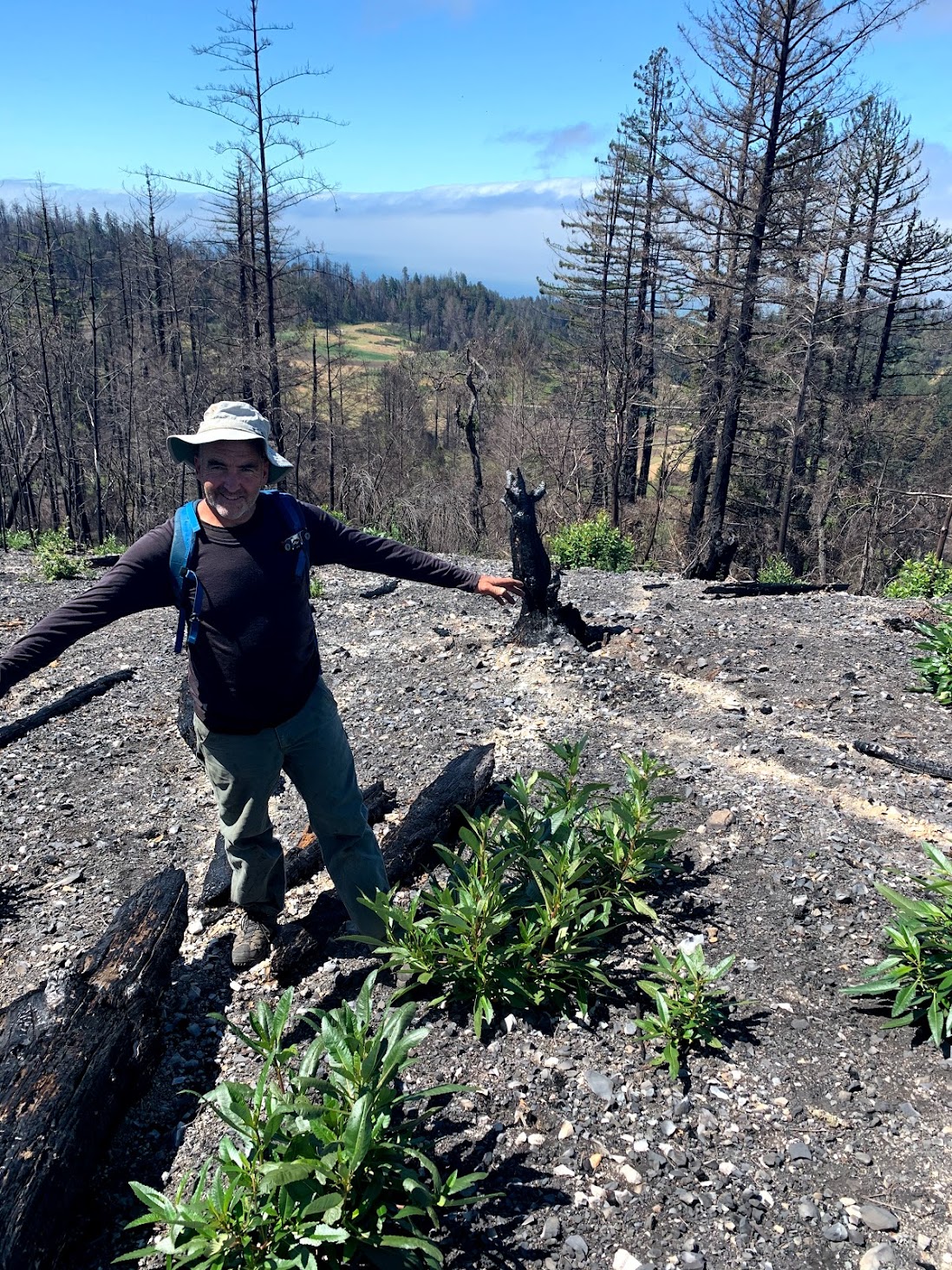
Throughout the fire-scarred forests of California, there are millions of big brown poles waiting to add fuel to the next fires. In the footprint of the Lockheed Fire where the CZU Fire burned, the heat was tremendous, the fire stoked by the Lockheed fire’s Dead Wood. Maybe after a few 10-year interval fires, the Dead Wood will be all cleared out and a forest can regrow more safely. Meanwhile, my hypothesis is that Dead Wood is mostly fuel for the next fire, at least around here.
Smokey the Bear
Now, what if we had bears? Would the log-shredding bears help with the decomposition process and at least somewhat reduce wildfire danger? Maybe that’s what made people think up Smokey the Bear to begin with.
Goldilocks and the 3 Bears
What’s just the right amount of dead wood? None of the native cavity nesting birds I mentioned are common enough to say we have enough standing dead wood, anywhere. In the streams and rivers, not enough logjamming is a problem for fish; too many logjams in the wrong places are a worry for human infrastructure (bridges, roads). Boaters don’t want any floating logs, at all. My friends the rubber boas need some rotting logs to replace the burned up ones in the CZU fire scar. Is there anything we can do to make sure we have the right amount of dead wood in the right places? Sure there is.
What are We to Do?
Wouldn’t it be nice if society supported more scientific inquiry? When was the last time you heard this question for a Congressional candidate: ‘How will you work to support funding for ecological science?’ A good answer would include federal funding for the National Science Foundation. Would you consider supporting the candidate with the best answer with your donations and your vote? We need better answers to the Dead Wood questions…and support for organizations like the Coastal Commission, CAL FIRE, parks agencies, land trusts, and state and federal wildlife agencies that integrate the Dead Wood answers into their decision making. Its not what you thought it was: we all need Dead Wood.
-this post reprinted from my weekly column at Bruce Bratton’s online blog Brattononline.com