from my blog for Molino Creek Farm
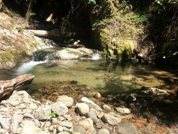
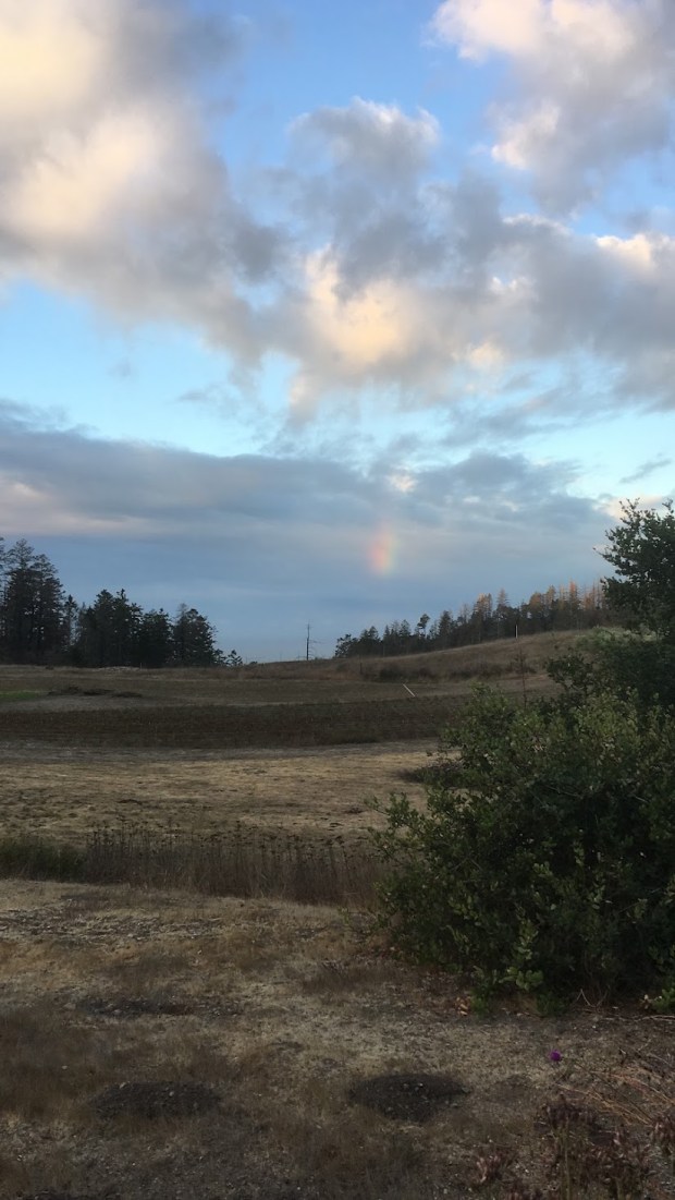
The meadows are turning GREEN: electric, eye straining, shiny, bright grassy green. It smells fresh and alive again. The sky seems a deeper sparkling blue and the stars shinier: it’s like the rain cleaned everything.
I’ve heard it said (with derision?) ‘back east’ – “California’s where Fall means the leaves drop and the grass turns green.” (Ironically, this is sometimes said by the same people that claim we don’t have seasons at all)
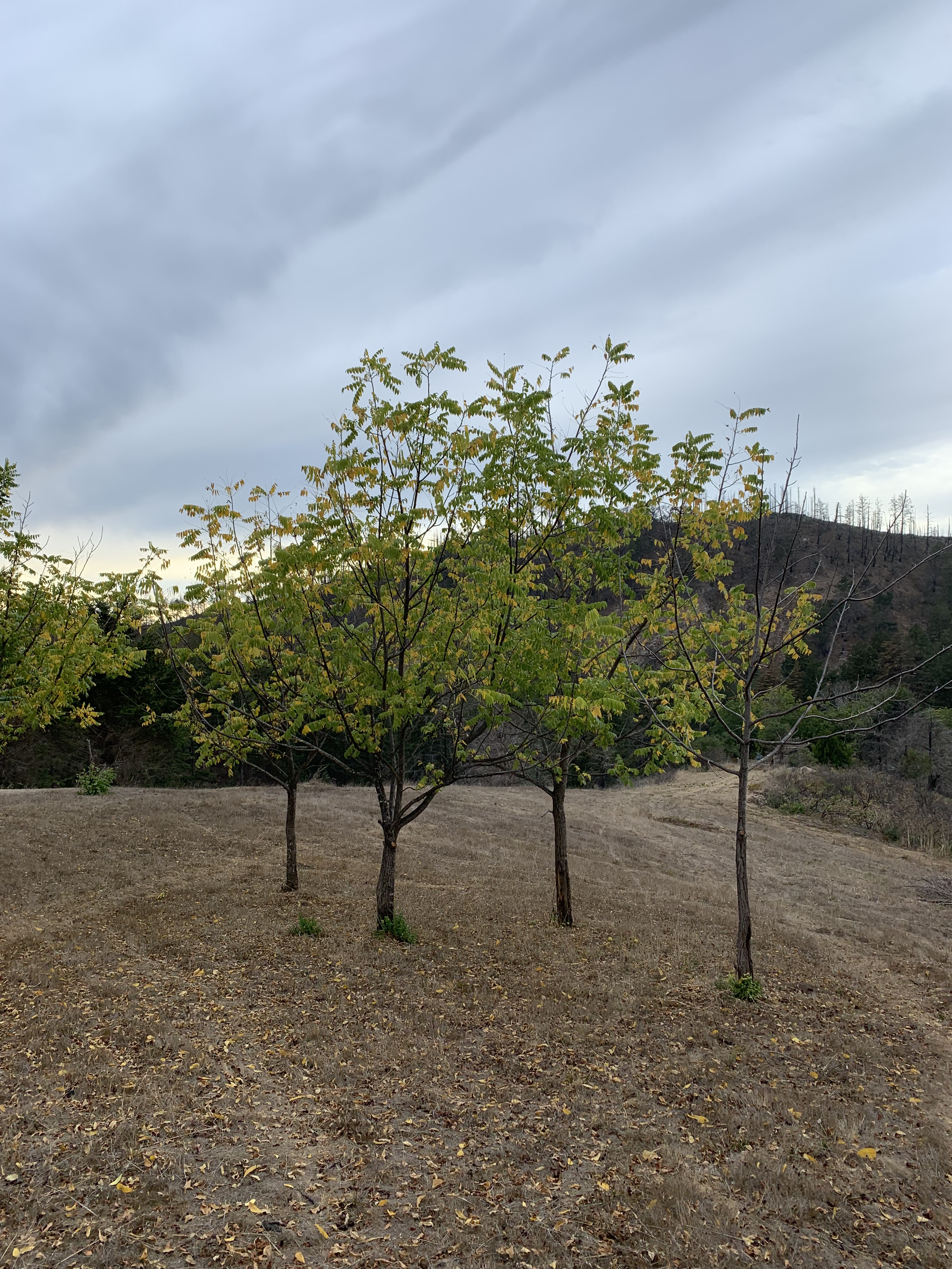
In the forest, yellowish fall colors, the scrublands dotted with brilliant red. Maples and hazelnuts are at their brightest fall pale yellow. Nestled into the mostly evergreen bushes of coastal scrub, poison oak glows brilliant crimson, leaves sometimes swirled with subtle purple or blushed with melon orange.
The honeybees have been getting hungrier as the last of the coyote bush flowers fade. A lone Australian import in my landscape, a white bell-shaped flowering Correa shrub, is now nearly being carried off by honeybees. I have never seen a single plant of any kind so buzzy.

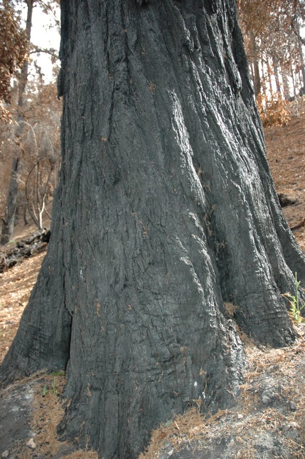
Bonfire Time
It is bonfire time. Directly after the rain soaked the land, regulators lifted the ‘burn ban.’ With increasingly unpredictable rainfall patterns, we know better than to wait. Even after running a chipper on many piles earlier in the summer, we have around 10 tons of brush remaining to burn.
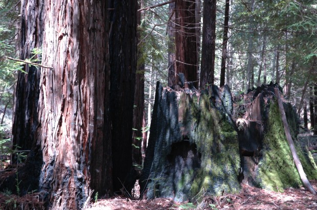
Beautiful, guilty pleasures, bonfires. With the heating of the planet, we are torn about this torching of biomass. In the few years leading up to this wildfire, I told everyone I knew that there was no feasible way of composting wood around here. Any branch over an inch diameter, I said, is just waiting to fuel the next wildfire. What does one do with the trimmings, fallen branches and trees, in that case? In the ten-year interval we expect between wildfires, we would quickly fill all of our open space with brush piles…and then they would burn anyways (as they did in the last fire). If we place branches in the forest, the forest trees will burn hotter and be more likely to die. And so, we burn piles when it is safe to do so. That means burning every time a storm is blowing in. Two piles down….20 more to go…At least we can enjoy the warmth and cheer: friends join in…bonfires by request! (selfishly, this helps us tend the fires)
Non Human Farm Mammals
The mammals love the rain-fueled regreening, too. Last night, I heard the first caterwauling of a cougar in a long time. It was yelling from near the intersection of Molino Creek Farm Road and Warrenella Road. Her sounds freak many people out as they are somewhat similar to a screaming human. The lion in the area making those noises would explain the reason our neighborhood dog, Fiona has had a few long barking sprees recently! What a terrifying sound…what a brave guard dog! Ruff! Ruff! The fierce barking echoes off the surrounding ridge lines.
Some may recall my mention of the relationship between skunks and ground wasps, aka yellow jackets, aka vespid wasps. I have seen it so many years…the first rain and the skunks dig up the wasp nests. What an amazing and guaranteed service. After this last rain, where there were once dangerous zones of sure firey stings, now there are holes, soil thrown up with scattered torn up papery honeycombs, a few upset wasps still trying to make sense of their broken homes. Somewhere there’s a skunk with a very full belly (and lots of skin welts).
Scary (and curious) Birds
One recent dusk, I was dreamily soaking in the beauty of the fading colors and the wet scents of the newly moistened landscape when the oddest sound startled me. The noise was sudden and like the horror movie sound of a hundred attack raptors – coming right at me! I almost ducked, but then realized that it was a hundred mourning doves flying as low and fast as they could, over and all around me. Their wings make a sharp swooping air-cutting noise as they come towards you with only the slightest dove wing whistle after they pass. This pattern has been repeating every evening at dusk- mourning doves jetting at tree (shrub) level downhill across the whole farm to roost somewhere at lower elevation. The conservation of elevational clines, from high to low elevation, on the western slope of Ben Lomond Mountain may be important for undocumented and mysterious reasons…We saw robins doing the same thing (though less speedily) at winter solstice a couple years ago.
Our resident ravens started an unusual bout of extreme danger warning calls, and I left my desk to go outside to ask ‘what up?!’ Whoosh- right by my door-exiting body: a norther harrier. This big acrobatic predator hunted all day long Monday, all over the farm. Late afternoon and the ravens were hoarse from alarm calls and making sad and exhausted crows; I thought maybe they lost a friend, or maybe were crying in despair that this dangerous foe would set up shop more regularly around the farm. They were probably hungry for the day of hiding.
Then, right after the raven dirge…a screaming peregrine falcon lit up the soundscape! What a drag to be on the receiving side of bird-on-bird predators! Eternal vigilance…
A more genteel bird observed…late afternoon and I hear a persistent raspy squeaky bewick’s wren call. It is most persistent, too persistent. And then I saw it, on top of a columnar cactus under my house eaves- looking up at the 3-year-old wasp nest that it had used the last two winters as a winter roost, with a mate. That wren was squeaking and flicking its wings, twitching its tail upwards, and making quite a show, over and over glancing up at the wasp nest…for 15 minutes. What was on its mind??
Harvest Season

Our Two Dog and Molino Creek Farm crews are still at it: lots to harvest, still! Tomatoes are still holding out, a little. Winter squash still colors the ground. Peppers hang thickly. The flowers are fading…
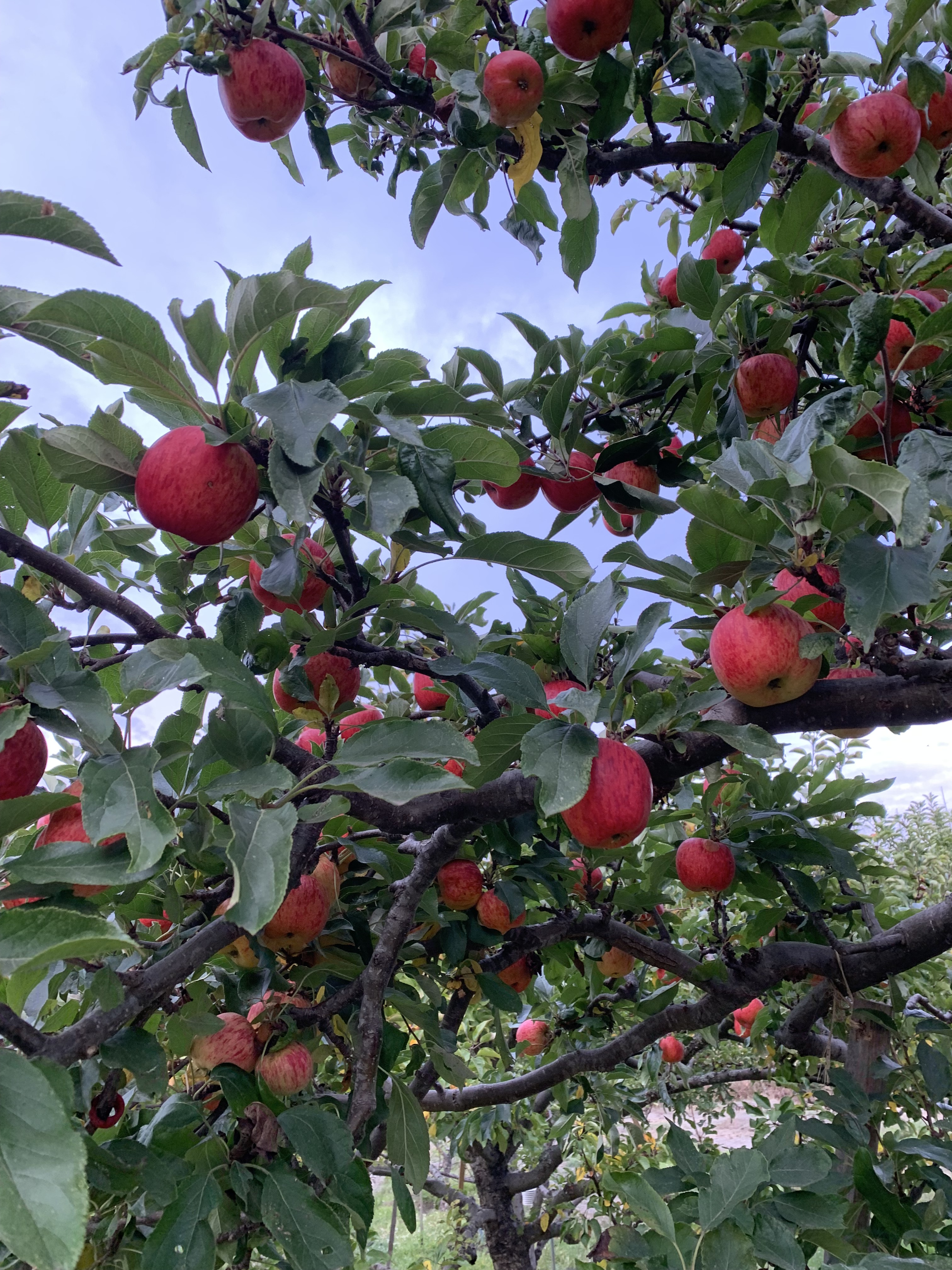
In the orchard, the apples are mid harvest: this is late! The Gala apples are a distant memory, and we are halfway into the Fuji harvest. We are also picking Mutsu, Braeburn, Jonagold, and Golden Delicious. Those personally passing through the orchard can eat many other varieties…Arkansas Black, Esopus Spitzenberg, and many more.
We are going to have to be quite measured and tactical to sow the cover crop seed in the apple orchard- leaving harvesting rows to last but getting seed in wherever we can- and soon!
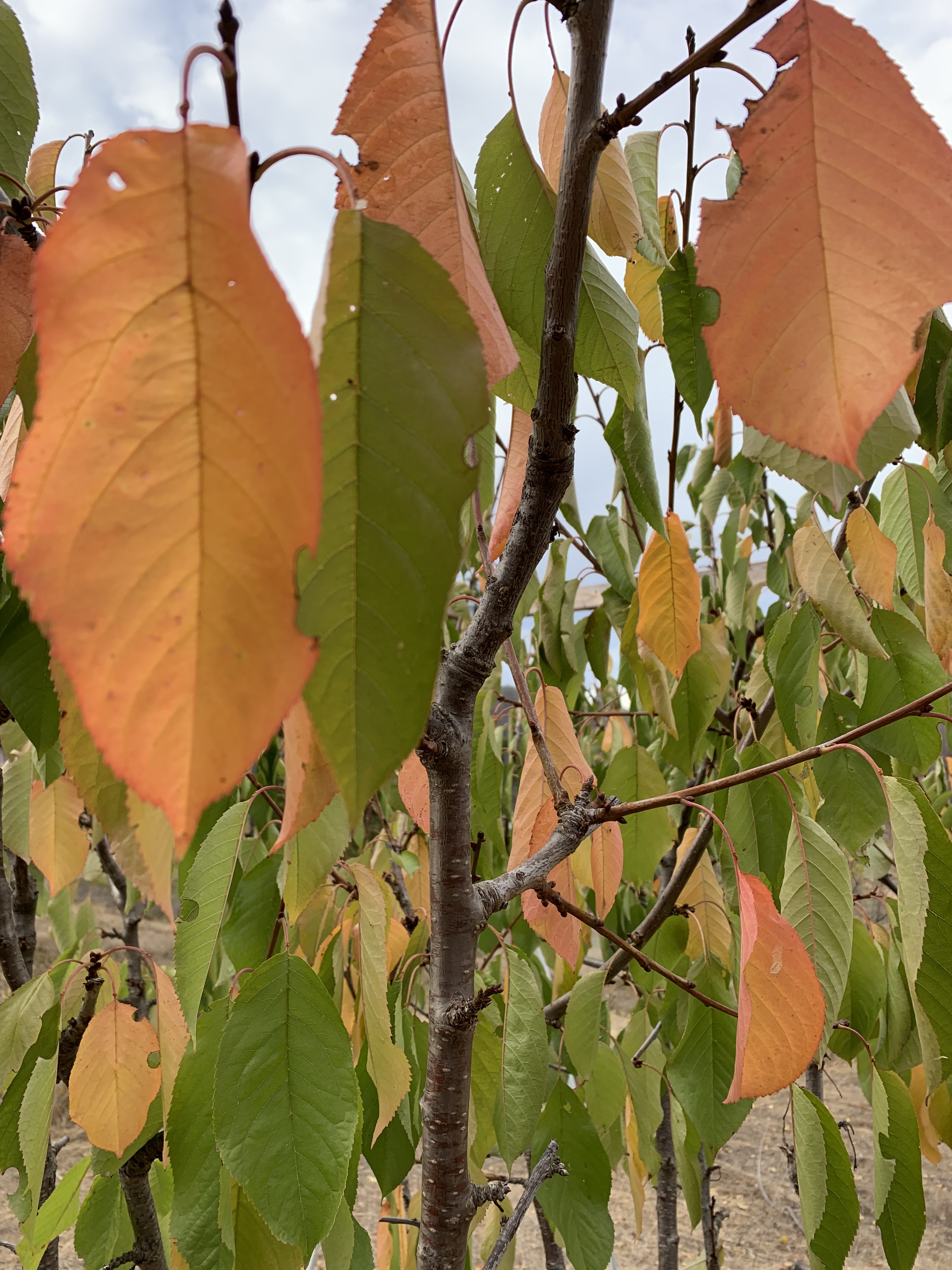
Besides the colorful and varied crop of rain-drenched, juicy, delicious apples…the orchard is giving us the longest most colorful fall. A long while ago already the prunes started changing flaming red and orange colors, now the aprium and other stone fruits are rapidly progressing into similarly spectacular colors. Some apple branches are giving it up to their signature yellow leaves. If the past is any indication, this slow fall will continue way into January until we have bare trees. The Wassail seems to happen right as they enter their leafless dormancy.